
Please select your line of business:

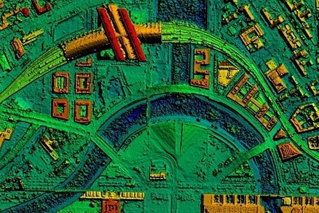
Aerial Surveys & Orthophotos
The basis for every GIS, for digital surface models, for every cadastre, for every query.


Mobile Mapping
Mobile recording and visualization of roads: Traffic images move you on the spot
Tree Register
Legal and traffic security: Tree registers since 1976; mobile software solution
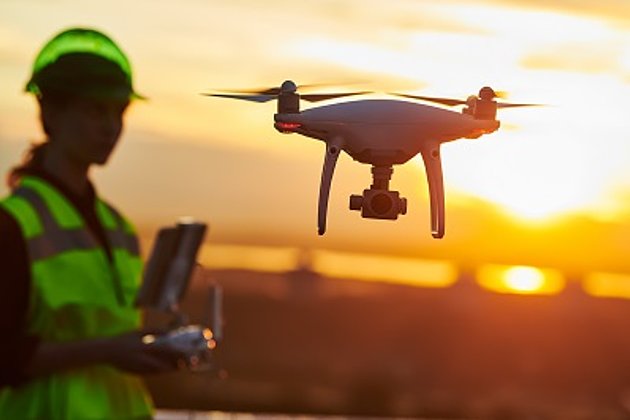
Unmanned Aerial Vehicles
Our drones are suitable for small objects, highest depth of detail and difficult to access areas.
Surface & Terrain Models
3d models of topography, objects and surfaces - made for visualisation and simulation